
Why Do UHNW Investors Conduct Due Diligence Before Investing?

Threat Intelligence Why Do UHNW Investors Conduct Due Diligence Before Investing? Wealth creates opportunity, but it also attracts risk. In the world of private capital,…
Russian SIM and White SIM Attacks: Why Ultra High Net Worth Individuals Are Increasingly at Risk

Threat Intelligence Russian SIM and White SIM Attacks: Why Ultra High Net Worth Individuals Are Increasingly at Risk Russian SIM and white SIM attacks are…
Global Threat Assessment 2026 | Maximus International
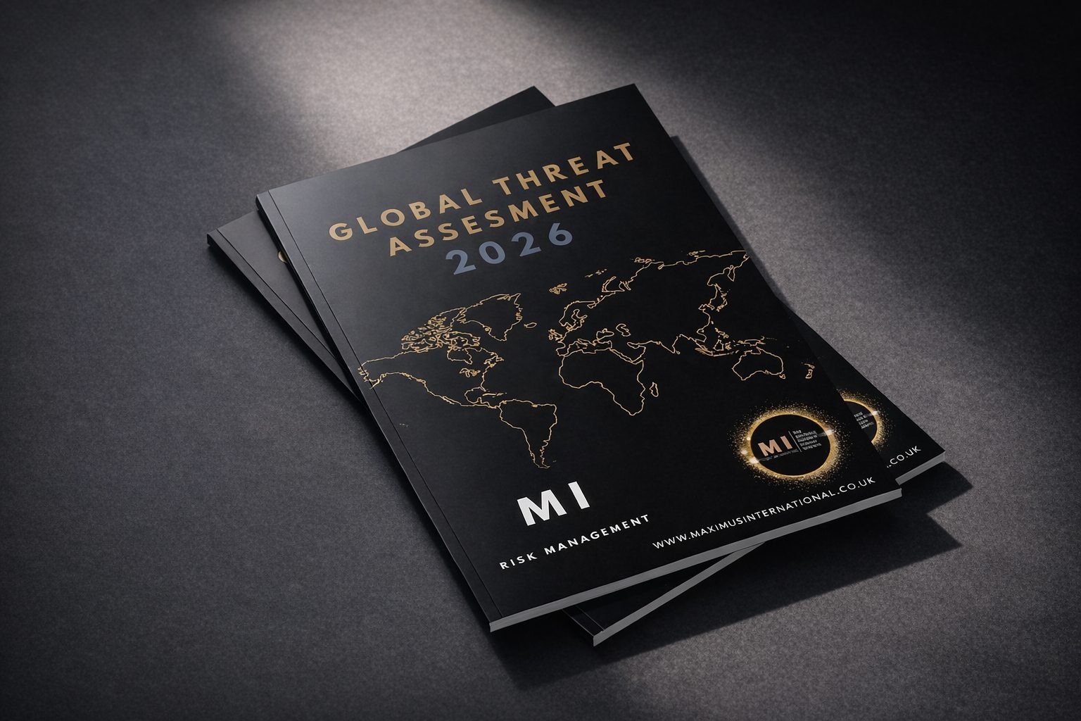
Global Threat Assessment 2026A strategic overview of the threats shaping business, wealth, travel and personal security in a more competitive and less predictable world.Request a…
Maximus International and The Chartered Society of Forensic Sciences

Maximus International and The Chartered Society of Forensic Sciences Maximus International Risk Management is proud to contribute to, and be part of, The Chartered Society…
Protecting Confidential Environments in High Value Settings
For ultra high net worth individuals, family offices, and senior decision makers, privacy is not simply a personal preference. It is a fundamental component of…
Why Risk Management is Essential in Protecting Film Talent, Reputation and Production Value

Modern film and television production is increasingly driven by authenticity. Directors, producers and premium content teams are no longer satisfied with environments that feel constructed…
How Private Submersibles Are Changing UHNW Security Planning

Security planning for ultra high net worth individuals has traditionally focused on three principal domains of movement: air, land, and sea. Each of these environments…
Executive Protection and Protection Rapprochée for Internationally Mobile High Net Worth Individuals

For high net worth individuals and internationally mobile families, security is no longer a local consideration. It is a cross border architecture built around lifestyle,…
What Are the Biggest Security Risks for HNW and UHNW Individuals?

The real risk picture has changedWhen people discuss security risks for HNW and UHNW individuals, the conversation often splits between traditional threats and modern threats.…
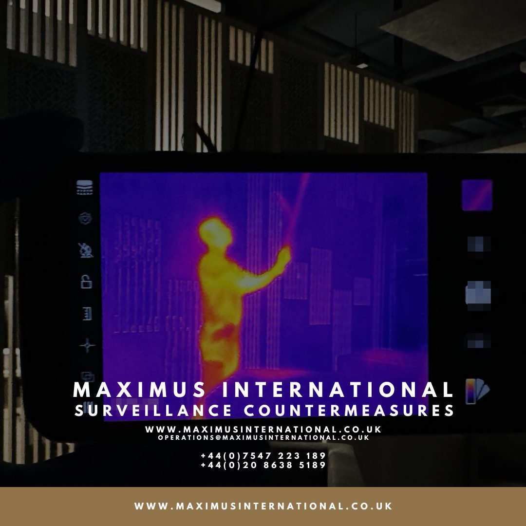
Why CCTV Failures Are a Growing Risk for High Net Worth Individuals

High Net Worth CCTV and the False Sense of SecurityFor many high net worth individuals and families, the presence of a high net worth CCTV…